YOUR LOCAL IT TECHNOLOGY EXPERTS

BUSINESS HOURS
Monday - Friday - 10AM to 4PM
Saturday - Sunday - Closed

Real Estate Photography
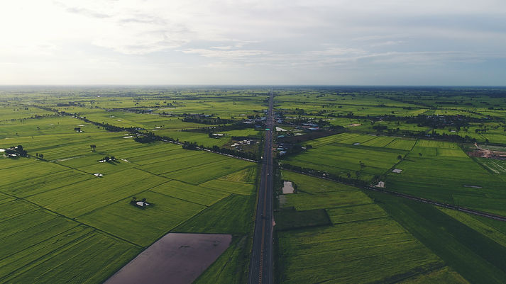
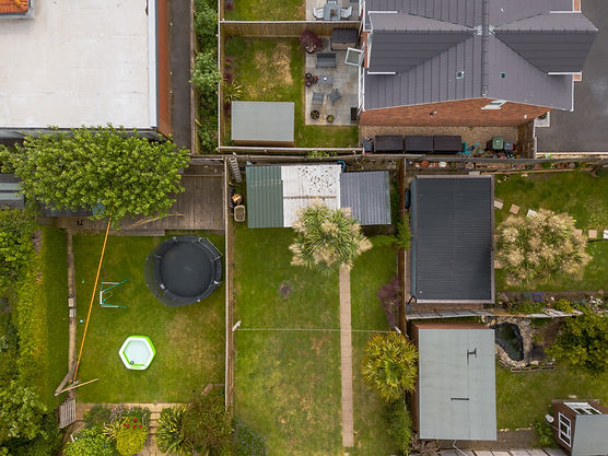
With Drone Aerial Photography, you can capture the most intricate aspects of your property and provide a detailed overview of structures, property lines and much more.
Special Events Photography
Capture your Special Event with Aerial Photography Services and create unique memories that you will never forget.
Property Survey Photography
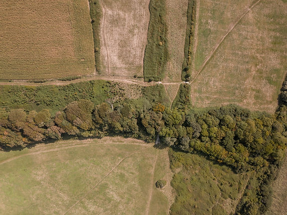
Our Drone Aerial Photography services can assist you in obtaining detailed video and photographs of your property lines, and property layout.

Transforming Perspectives: The Magic of Aerial Drone Photography in Minnesota's Brainerd and Baxter Area
Do you want to make an impact for your advertising or marketing promotions? If so, Microlenk Technologies will assist you in capturing breathtaking aerial videos and photographs of your property, real estate and much more.
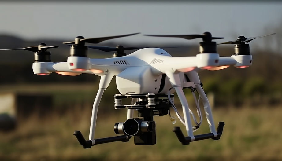
We use and deploy the latest drone technology to ensure that you receive the best possible video and images possible. We provide aerial photography services for new and existing construction, real estate marketing, promotional marketing, and much more.
We provide high quality drone aerial photography at industry competitive prices. We will work with you every step of the way to ensure that all of your aerial photography goals and objectives are achieved. Call Us Today!
Real Estate Photography
Your local Drone Aerial Photography Professionals serving the State of Minnesota.

Aerial photography is the best way to capture your property, especially when you're trying to sell it. Aerial photographs give potential buyers a bird's-eye view of the surrounding area, which allows them to see how your property fits into its surroundings. This can help them understand how much value the property adds to their investment portfolio.
Real estate aerial photography is also useful for marketing purposes. The right aerial photo can make your listing stand out from the competition and attract more potential buyers. To learn more about real estate aerial photography and how it can help you sell or market your properties, contact us today!
Special Event Photography
Your local Drone Aerial Photography Professionals serving the State of Minnesota.

We offer drone aerial photography for special events. We can take photos of your event, whether it's a wedding, corporate function, or other special occasion. Our drones will fly high above the scene and take photos that are sure to impress both you and your guests. We use the latest technology to ensure that we get the best possible quality images from each flight. We also use GPS tracking systems so that our flights are completely safe and legal.
Property Surveys Photography
Your local Drone Aerial Photography Professionals serving the State of Minnesota.

Property line aerial surveys are a critical tool in the process of developing and expanding property. The aerial images captured by this service can be used to determine if there are any encroachments, if a property is completely surrounded by other properties, or even for identifying boundaries that may have been forgotten about over time.


